


GTJ jour 7

werth
User


Length
13.9 km

Max alt
1097 m

Uphill gradient
382 m
Km-Effort
19.3 km

Min alt
870 m

Downhill gradient
479 m
Boucle
No
Creation date :
2022-08-10 06:16:22.748
Updated on :
2022-08-10 10:40:16.216
4h20
Difficulty : Medium

FREE GPS app for hiking
 SityTrail
IGN / Geographical institutes
SityTrail Plus
The world is yours!
About
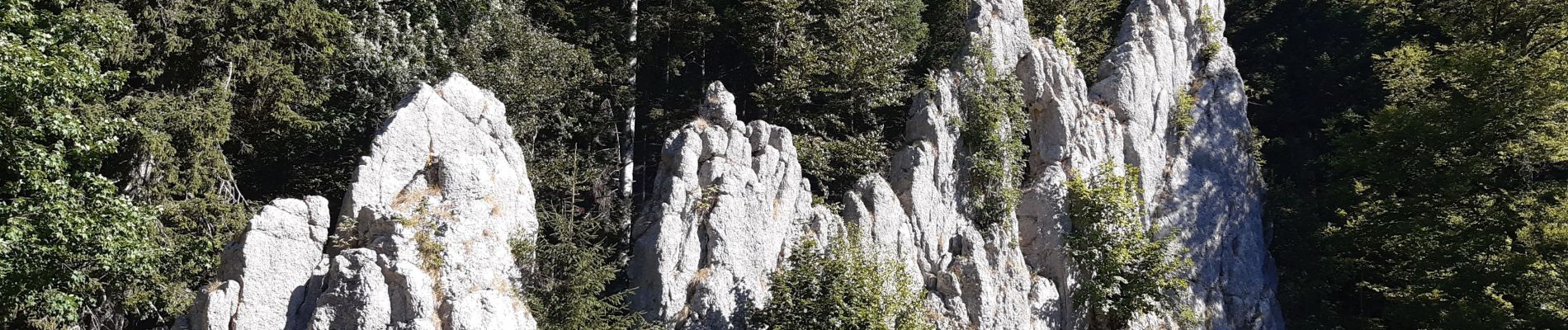
Trail Walking of 13.9 km to be discovered at Bourgogne-Franche-Comté, Doubs, Les Alliés. This trail is proposed by werth.
Photos

Positioning
Country:
France
Region :
Bourgogne-Franche-Comté
Department/Province :
Doubs
Municipality :
Les Alliés
Location:
Unknown
Start:(Dec)
Start:(UTM)
305702 ; 5202529 (32T) N.
Comments